GPS tracking technology tells you where your asset is. But today’s reuse-heavy logistics require knowing not just location and route, but what happens to your assets in real-time. Let’s get to know GPS technology in greater detail and why it fails to add to asset visibility.
Over the last decade, GPS (Global Positioning System) trackers have defined the asset tracking industry.
From fleet management to container monitoring, GPS tracking technology has provided reliable outdoor location intelligence across long-haul routes.
Real-time GPS trackers have become synonymous with visibility, offering geofencing, route deviation alerts, and timestamped coordinates for assets in transit.
Because of this success, GPS became the industry norm for asset tracking technology. If an asset moved across different locations and geographies, GPS could show its approximate location.
And for logistics operations that were focused more on shipments level insights, GPS technology and location tracking was sufficient.
However, reuse-heavy logistics networks that typically involve focusing on returnable assets operate very differently.
Plastic pallets, roll cages, specialized carriers, and other returnable assets circulate repeatedly between warehouses, yards, and client facilities. These assets spend significant time indoors, within dense warehouse environments, stacked between metal racks, or positioned inside enclosed trailers.
Their movement is at times long-haul, but there are also majorly moved within facilities, parked idle on client locations, or just abandoned without record.
For these assets, movement doesn’t often involve outdoor locations.
In these diverse environments, knowing the location alone will still be giving teams only half the visibility they really need.
But from a lifecycle performance point of view, it is also important to know dwell behavior, custody transitions, condition events, shock and handling alerts and overall asset health.
The question is not whether GPS works. It still does and it’s the cornerstone of location tracking technology. The real question is whether GPS alone be used to support the operational complexity of reuse-heavy asset ecosystems.
To answer that, we must first understand what GPS trackers are designed to do – and what their technological limits are.
Why GPS Became the Industry Standard?
To understand why GPS tracking technology remains the default choice for asset visibility, it is important to recognize the problem it originally solved.
Early asset tracking challenges were largely transport and shipment focused.
Fleet operators needed to monitor vehicle routes, prevent cargo theft, and verify delivery timelines across long-haul corridors. GPS trackers were well suited for this environment.
Satellite-based positioning provided reliable outdoor coverage, and real-time GPS trackers enabled geofencing and route deviation alerts. For assets in transit across open roads, GPS offered a practical and scalable solution.
Cost and simplicity further reinforced adoption.
GPS modules became widely available, battery management strategies matured, and connectivity costs declined.
Compared to multi-layer sensor systems, GPS tracking technology required relatively low data volume and minimal configuration. For many operators, a single coordinate update at defined intervals was sufficient to establish visibility.
As supply chains expanded globally, GPS tracking became the “standard” for logistics and supply-chain tracking technology, even for returnable assets.
If an organization wanted to know where an asset was geographically, GPS trackers delivered that information efficiently.
However, this standardization occurred during a period when most tracking use cases were centered around linear movement: dispatch, transit, delivery.
The entire system was optimized for outdoor location intelligence rather than complex, high-frequency reuse cycles within controlled facilities.
As logistics models evolved toward achieving more circularity, greater reliance on pooling, and reuse-heavy operations, the demands placed on tracking infrastructure changed.
Assets are now no longer required to be tracked only from point A to point B. The need is to monitor them continuously across warehouses, yards, subcontracted carriers, and client sites.
The operational questions has now shifted from “Where are the assets on the map?” to “Where are they, and what is their current state & use?”
GPS remains effective for its original purpose. The challenge arises when a transport-focused technology is expected to govern reuse-heavy asset ecosystems that require more than geographic positioning.
What Do GPS Trackers Do Well?
GPS trackers operate using Global Navigation Satellite Systems (GNSS), which determine location by triangulating signals from multiple satellites orbiting the earth.
A GPS device calculates its position by measuring the time it takes for satellite signals to reach the receiver. When combined with LTE or cellular connectivity, those coordinates are transmitted to a backend platform at configured intervals.
In outdoor environments with unobstructed sky visibility, this architecture performs reliably.
Real-time GPS trackers can deliver location accuracy typically within 2 to 10 meters, depending on signal strength and device quality.
For long-haul transport, fleet monitoring, and cross-regional shipment tracking, this level of precision is operationally sufficient.
GPS tracking technology also allows configurable reporting intervals. Devices can be set to transmit data every few minutes, on movement detection, or when entering or exiting predefined geofenced zones.
This makes GPS trackers effective for route compliance monitoring, theft detection, and confirmation of delivery checkpoints.
Because GPS modules are now standardized and widely manufactured, integration costs have decreased significantly over the past decade.
Cellular-based GPS asset trackers rely on established telecom infrastructure, which makes deployment scalable across regions without requiring local hardware ecosystems inside facilities.
For assets or carriers that spend most of their lifecycle in transit across open roads, GPS tracking technology remains a logical and efficient solution. It provides geographic visibility at relatively low complexity and predictable power consumption when reporting intervals are moderate.
However, the architectural design of GPS assumes line-of-sight access to satellites and outdoor signal integrity.
When assets spend more time indoors, between metal racks, inside enclosed trailers, or within dense warehouse environments, the technical constraints of satellite-based positioning begin to appear.
Where Does GPS Fall Short?
The strengths of GPS tracking technology are directly tied to its architectural assumptions.
Satellite-based positioning depends on clear line-of-sight to orbiting satellites and stable outdoor signal conditions. In reuse-heavy asset ecosystems, those assumptions rarely hold consistently.
Returnable assets such as plastic pallets, roll cages, and specialized carriers spend significant portions of their lifecycle indoors.
They move through reinforced warehouse structures, remain stacked beneath metal racking systems, sit inside enclosed trailers, and cycle through cold storage facilities.
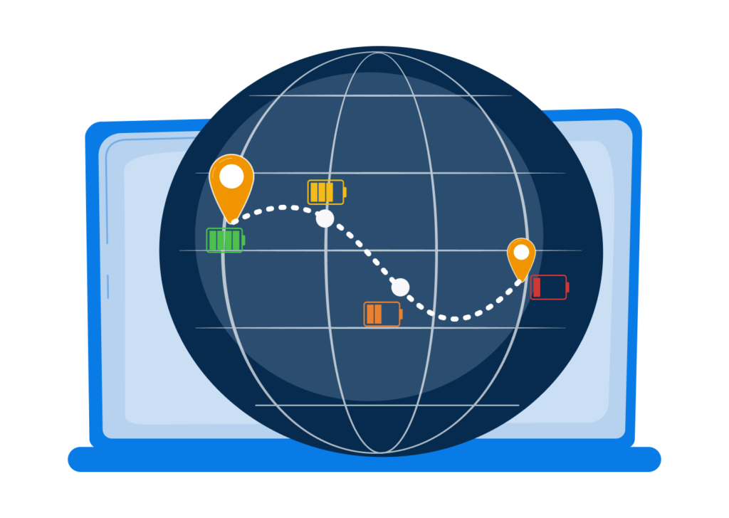
In these environments, satellite signal penetration weakens or fails entirely. When GPS trackers lose satellite visibility, location accuracy gets degraded sharply or it disappears until signal is back.
Even when intermittent GPS fixes are available, they often provide only coarse approximations inside facility environments.
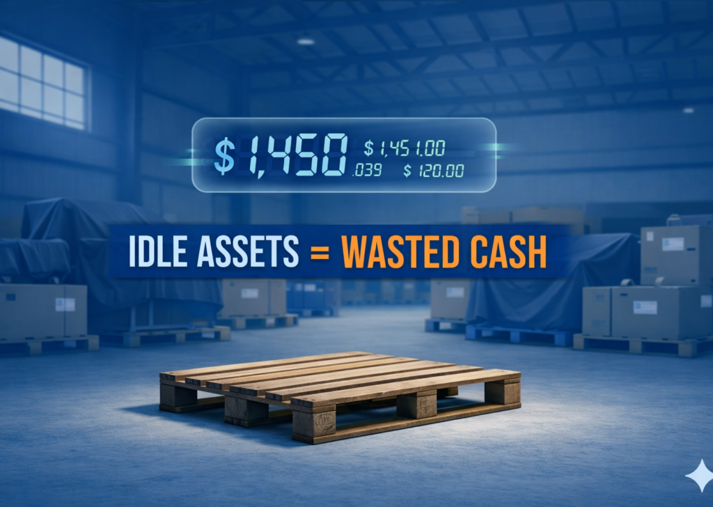
For reuse-heavy operations, knowing that an asset is somewhere within a warehouse perimeter does not answer operational questions.
Operators need to understand dwell time, movement frequency, custody transitions, and circulation efficiency – not just coordinates on a map.
Battery behavior also becomes more complex in dense circulation models.
Real-time GPS trackers consume energy each time they calculate and transmit position data. In high-frequency reuse networks where assets may move dozens of times within a day, aggressive reporting intervals accelerate battery depletion.
If operators reduce ping frequency to preserve battery life, they introduce visibility latency. This creates a structural trade-off between accuracy and uptime.
Another limitation lies in contextual awareness.
GPS trackers report geographic location but do not capture condition events. They cannot detect shock during forklift handling, tilt during improper stacking, temperature exposure in cold chain zones, or prolonged inactivity within client sites.
For reuse-heavy assets, these contextual factors often matter more than raw location.
Most critically, GPS alone does not define lifecycle intelligence. It can indicate where an asset was at a moment in time, but it does not inherently track reuse cycles, custody confirmations, dwell thresholds, or productivity ratios across the network.
In circular asset ecosystems, performance is defined by how often an asset completes a return loop – not simply where it is.
These limitations do not diminish the value of GPS.
They highlight that geographic positioning, while foundational, is insufficient for governing reuse-heavy asset networks where movement density, facility confinement, and lifecycle complexity dominate.
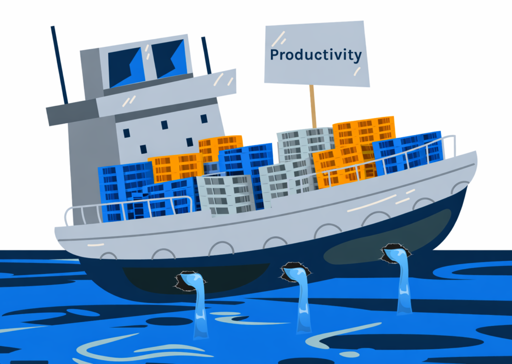
Going Multi-Sensor Is the Logical Evolution
Reuse-heavy asset ecosystems demand more contextual intelligence than just location knowledge.
As logistics networks shift toward circularity, asset pooling, and high-frequency asset reuse, the expectations from asset tracking solutions have evolved.
It is no longer sufficient to know where an asset is located. Operators need to understand how it is performing throughout the network and also when assets are sitting idle inside the facilities.
That shift requires moving beyond GPS-only architecture toward multi-sensor asset tracking technology.
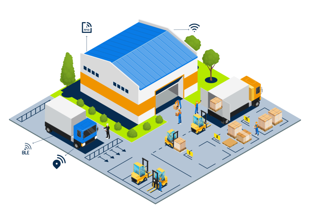
Modern tracking infrastructure combines GNSS positioning with complementary technologies such as Wi-Fi triangulation, Bluetooth Low Energy proximity detection, motion sensors, temperature monitoring, and shock or tilt detection.
Check out the multi-sensor tracker technology that SensaTrak offers.
Each layer addresses a limitation inherent in satellite-only systems.
Indoor environments, where GPS signal degradation is common, can be supplemented with Wi-Fi or BLE positioning.
Motion sensors can detect whether an asset is stationary, in transit, or undergoing handling. Shock detection can record abnormal impact events during forklift movement.
Temperature monitoring can validate cold chain compliance. Together, these data points provide contextual continuity even when satellite visibility fluctuates.
Multi-sensor architecture also enables smarter power management. Instead of constant high-frequency GPS pings, devices can trigger transmission based on motion thresholds or environmental changes.
This reduces unnecessary battery drain while preserving event-level intelligence. Combined with offline buffering and multi-network fallback connectivity, the system maintains lifecycle integrity across dense warehouse and cross-border environments.
For reuse-heavy operations, this technology shift changes asset tracking and monitoring dramatically.
Operators gain visibility into dwell behavior, custody transitions, condition events, and reuse cycle performance. Asset intelligence becomes operationally actionable rather than merely geographic.
The future of returnable asset tracking solutions is not really about replacign GPS. GPS is a powerful technology and is quite useful in logistics tracking.
But it only needs to be enhanced by integrating GPS into a broader sensor ecosystem that reflects the realities of modern logistics.
If you’re currently using GPS for your asset management, and exploring multi-sensor trackers to make asset monitoring more comprehensive: